Phoenix Weather Report for Nov 19th, 2020
As expected we set another high temperature record out at Sky Harbor yesterday reaching 89˚F, but thankfully we did manage to end the streak of 90s.
The Latest Weather News, Reports, and Video for the Phoenix Metro Area.
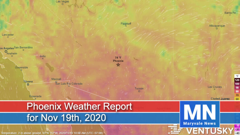
As expected we set another high temperature record out at Sky Harbor yesterday reaching 89˚F, but thankfully we did manage to end the streak of 90s.
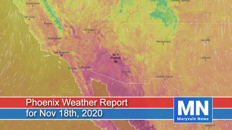
For the second straight day, Sky Harbor reached 92˚F setting another daily high-temperature record and extending the latest 90˚F reading in Phoenix by another day.
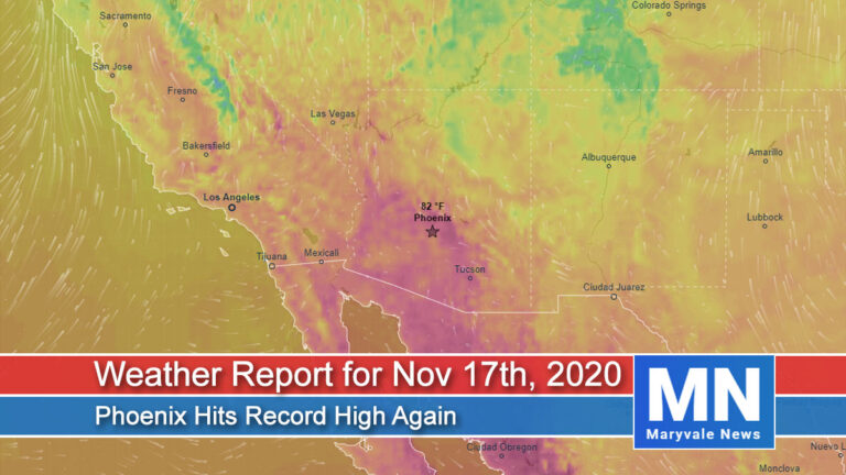
As you may have seen, we set a new daily high-temperature record yesterday out at Sky Harbor of 92˚F. This also set the record for the latest 90˚F+ day in Phoenix and it’s not done.
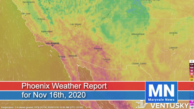
Well, it looks like we’re going record hunting again with unseasonably warm temperatures to start off the week. Looking at the big picture, general ridging (high pressure) will remain in place across the Desert Southwest
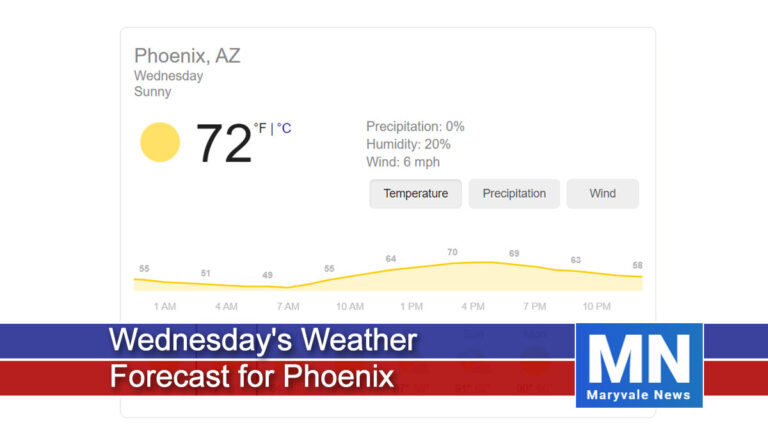
Very little to talk about over the next three days. We’ll be mostly sunny to sunny, with near-normal high temperatures and light winds.
After a very chilly start to the week, temperatures will continue to warm the remainder of the week. Looking at the big picture, general troughing will remain in place across the western US promoting dry westerly flow.
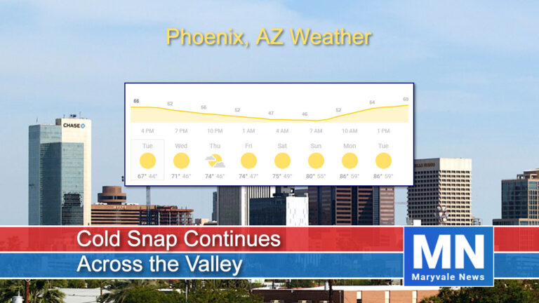
The cold snap remains on track for today through the work week with below-average temperatures the main weather story.
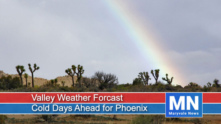
Expect cold days ahead as a front swept across the valley overnight bringing light rain and mountain snow with a shot of cold air. Much of the system has pushed east of the region with only the upper-level low moving across the state into this evening.
This morning’s weather is cold due to clearer skies and light winds so expect the low to mid-40s. The national weather service has issued warnings for a freeze and hard freeze across southeast Arizona.
End of content
End of content