Weather Report for Nov 12th, 2020
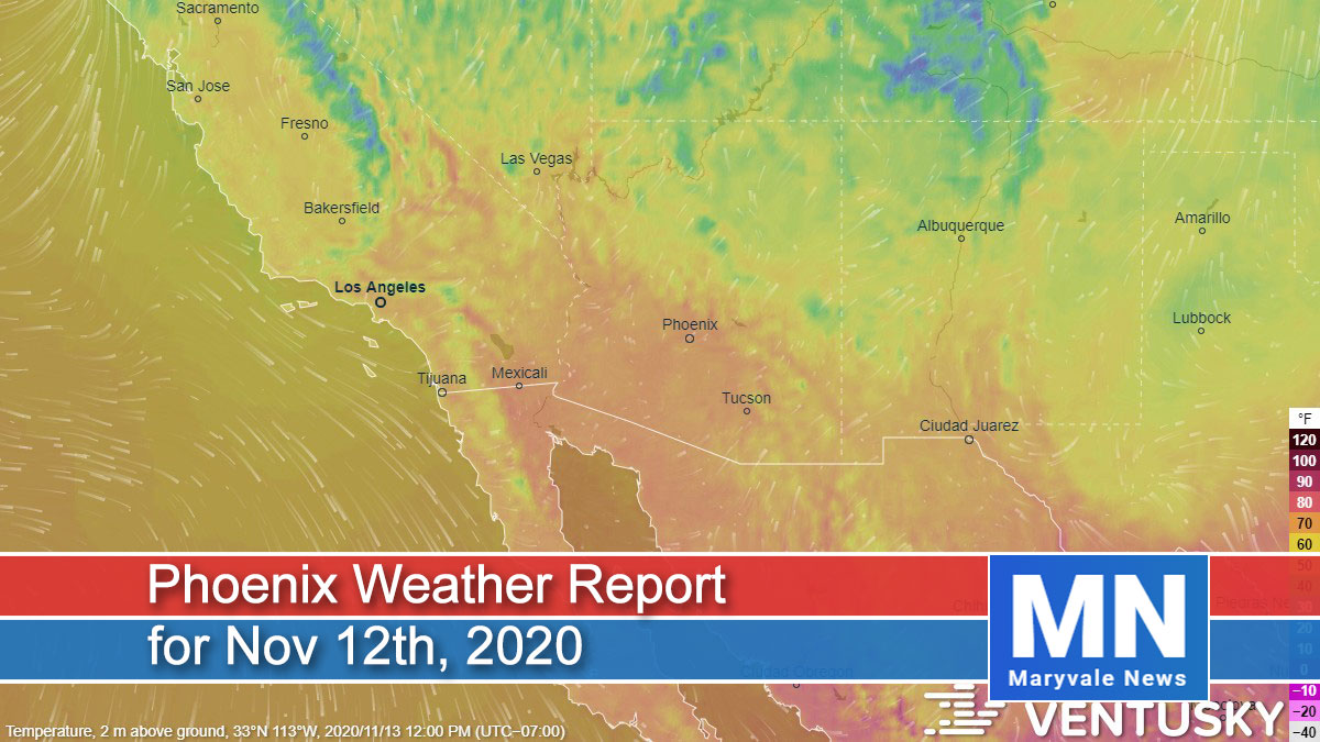
Very little to talk about over the next three days. Our weather will be mostly sunny to sunny, with near-normal high temperatures and light winds. Highs this afternoon will range from 73 to 76. Overnight lows drop to 45 – 48. Tomorrow looks to be a carbon-copy of today – maybe a few less high clouds. Sunday high pressure begins to strengthen bumping our temperatures a bit – look for 80 across the northern zones and 82 to 84 on the lower deserts.

Air Quality Forecast
Mild weather and a weekend warm-up” should be the headline for this Phoenix air quality forecast.
Today (Friday), a weak disturbance will pass over Arizona, helping to reinforce high temperatures in the upper 70s. Then on Saturday, the jet stream will dig into the Four Corners region, having a similar effect. However, on Sunday high pressure will begin to creep into the Southwest, becoming its strongest over the region by Monday. This new pattern will cause afternoon highs to climb into the 80s again–and we’ll be back in the upper 80s on Monday. During all this, winds will be light and skies mostly sunny.
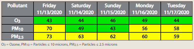
Air quality-wise, the mild weather conditions will be favorable for the local build-up of particulate matter in the morning/evening hours. PM10 (dust) is forecast in the Moderate Air Quality Index (AQI) category on weekdays. PM2.5 (smoke) is forecast in the Moderate AQI category each day.
But it should be noted that Moderate levels of PM10 and/or PM2.5 will be mostly confined to industrial areas south/southwest of the Phoenix metro area. Elsewhere around the Valley, PM10 and PM2.5 should remain in the Good AQI category.
Ozone is forecast in the Good AQI category each day, but ozone levels are expected to increase on Monday with the high pressure.